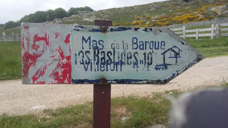
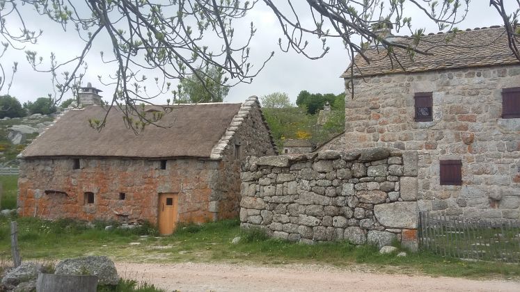
Col du Bez à Barre des Cévennes - GR 72

Départ :
Les Chambons (Ardèche)
Les Chambons (Ardèche)
 GR®72.kml
Distance: 96,19km,
Altitude maximum: 1455m, Altitude minimum: 575m, Dénivelé cumulé montée: 3285m
Cartes IGN:
La Bastide-Puylaurent (2738E).
Mont Lozère Florac PN des Cévennes (2739OT).
Corniche des Cévennes PN des Cévennes (2740ET).
Largentière la Bastide-Puylaurent Vivarais Cévenol (2838OT).
 Campsites
 Hotel-Restaurants
 Hiker's accommodations
 Bed & Breakfast
 Selfcatering cottages
 Group gîtes
 Quirky accommodations
 Holiday villages